The maps found on this page are representative of the planning process through which the new maps that are included in the Envision 2045 Comprehensive Plan document were formulated. Furthermore, these maps do not represent current trends or include up-to-date information for Minnehaha County Planning & Zoning. Please contact the GIS Department if you would like a custom map with up-to-date information.
| COUNTY MAPS | ||
| Minnehaha County Map | Minnehaha County Zoning Map |
|
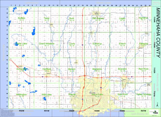 View/Download PDF (2.52 MB) View/Download PDF (2.52 MB) |
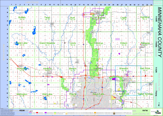 View/Download PDF (610 KB)
 |
|
| Future Land Use Map | Open House Locations | |
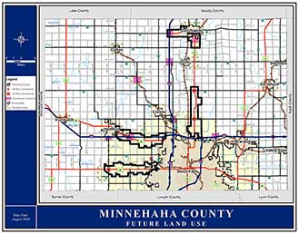 View/Download PDF (1.36 MB) View/Download PDF (1.36 MB) |
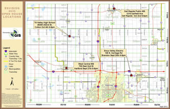 View/Download PDF (996 KB) View/Download PDF (996 KB) |
|
You will need to have Adobe Reader installed on your computer to view the file.
If you do not have Adobe Reader, you can download and install it here for free.